
How will the weather behave in the coming months? An IDEAM report presents a forecast with increased rainfall in some regions.

The Institute of Hydrology, Meteorology, and Environmental Studies (IDEAM) published its latest climate prediction report with detailed projections through January 2026. However, the institute's director, Ghisliane Echeverry, cautioned that the most certain prediction is for the next three months. "The best prediction I can give you is for the next three months. We can't make reliable predictions for beyond that. They are made, but with a very high degree of uncertainty," she explained in an interview with EL TIEMPO.
Despite this limitation, the report covers the entire second half of the year and even January of the following year, with a technical overview based on the analysis of global climate models and their reduction to a national scale. The document, prepared by IDEAM's Numerical Weather and Climate Modeling Group, also incorporates an assessment of ocean conditions in the tropical Pacific.
"The longer-term monitoring we have now is for the hurricane season, which runs until November 30, but there are currently no La Niña or El Niño alerts. We continue with ENSO-Neutral conditions," Echeverry stated. However, IDEAM forecasts scenarios that already show significant rainfall contrasts in different regions of the country, with some significant increases, especially in the Caribbean and parts of the Andean region.
IDEAM forecasts a semester of heavy rains in the north of the country. Photo: Héctor Fabio Zamora
For August, IDEAM projects an increase in rainfall in key regions of the country. In the Andean region, precipitation volumes are expected to be 10% to 30% above historical averages. In the Caribbean region, the increases will be even more significant: increases of over 30% are estimated in the La Guajira Peninsula, and between 10% and 20% in the rest of the region.
Increases in rainfall are also expected on the coast of Nariño (20%) and San Andrés and Providencia (10–20%), while in the Amazon and Orinoquia, precipitation within normal values is expected.

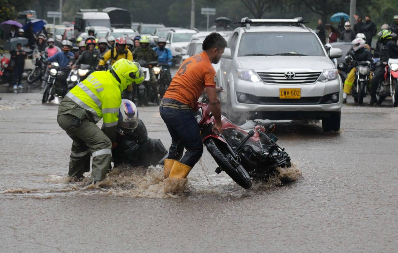
Rainfall will increase across much of the country between August and October. Photo: Hector Fabio Zamora
In September, the situation will be more heterogeneous. Although above-normal rainfall will continue in parts of the Caribbean, such as Magdalena, Sucre, north-central Bolívar, Cesar, and La Guajira (20–40% more), the Andean region will experience precipitation deficits of between 10% and 20% in its center and south, including eastern Santander. In the northern Andes, however, rainfall will remain within average.
In the Orinoquia region, localized increases (10–20%) will be observed in areas such as eastern Meta and Casanare, and similar decreases in the foothills of the plains. In the Amazon, reductions of between 10% and 30% are expected in several areas, although some areas in the west and south will register increases.
In October, the pattern shifts toward more rain again. “Precipitation increases of between 10% and 20% are projected across most of the Andean and Pacific regions,” the report states. In San Andrés and Providencia, rainfall volumes could be 20% to 30% above average. The Caribbean region will maintain levels above 20% across most of its area.

La Guajira, Nariño, and the Andes are the areas where rainfall will increase the most. Photo: EL TIEMPO Archive
For the November 2025–January 2026 quarter, IDEAM anticipates a more marked return to rainy conditions in the north of the country. In November, the Caribbean and Andean regions are expected to see increases of between 10% and 30%. In the foothills of the plains and areas of Meta and Casanare, increases of 10–20% are expected, while in parts of the Amazon, some increases are also forecast.
In December, rainfall will return to normal across much of the country, although Santander and Norte de Santander could see increases of up to 20%. In the Orinoquía region, however, increases could reach up to 30% in large areas. Finally, by January 2026, the Andean and Pacific regions are expected to continue to experience rainfall volumes between 10% and 30% above normal.
IDEAM warns that, although these predictions represent a valuable guide, "they should be considered a preliminary reference and not a definitive projection," especially for the November-January quarter, when the models' predictive ability is lowest.
Forecasts are updated monthly between the 16th and 22nd, based on current ocean and atmospheric conditions.
Environment and Health Journalist
eltiempo


