
Magnitude 6.3: Earthquake shakes northern Afghanistan
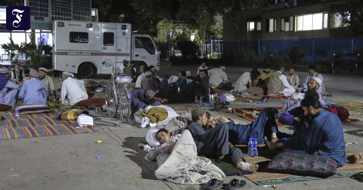
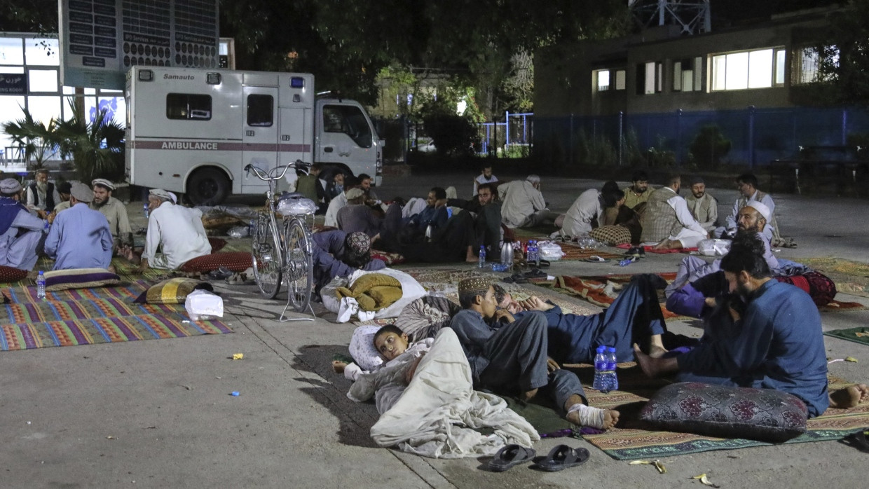
According to the US Geological Survey, the earthquake struck near the city of Mazar-i-Sharif. The quake was also felt in the capital, Kabul. Just last August, the country in the Hindu Kush mountains was hit by an earthquake that killed 2,200 people.
An earthquake measuring 6.3 on the Richter scale struck northern Afghanistan. According to the US Geological Survey (USGS), the quake occurred on Sunday near the city of Mazar-i-Sharif in Balkh province at a depth of 28 kilometers (18 miles). The USGS had initially reported the depth as 10 kilometers (6 miles), but later corrected this figure.
The earthquake was felt as far away as the capital city of Kabul, some 300 kilometers away, according to AFP correspondents.
Just at the end of August, an earthquake measuring 6.0 on the Richter scale in eastern Afghanistan killed more than 2,200 people. Two years ago, an earthquake in the region around Herat, near the border with Iran, killed more than 1,500 people and destroyed more than 63,000 homes.
The country, located at the collision of two tectonic plates in the Hindu Kush mountains, is prone to frequent earthquakes. According to the British Geological Survey, twelve earthquakes with a magnitude greater than 7.0 have been recorded since 1900.
Frankfurter Allgemeine Zeitung


